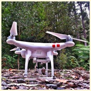
Drones have had a lot of bad press and hype that has slowed their acceptance by regulators and the public but they perform valuable services like search and rescue and inspection that can’t be done any other way. Source: Engadget
A great example of that is work being done by the Amazon Basin Conservation Association in Peru, as detailed by NPR.
Using a custom UAV, the group is scanning large sections of the rain forest in search of illegal logging and mining that has reduced thousands of acres to bare soil.
To keep track of the 550-square-mile reserve, the team is using a custom-designed, “flying wing” foam drone developed by Wake Forest University grad student Max Messinger.
The three-foot-wide model has greater range than a quadcopter, but can still be equipped with a decent Canon camera and autopilot.
After finding likely targets using satellite images, the association flies the drone up to 10 miles to specific GPS bearings, well below the persistent cloud cover in the region.
From there, they can spot even tiny tracts where tree poachers and gold miners operate.
Mr Messinger said that the group has already identified a number of illegal mines and is working to ensure they don’t cross into protected areas.
Wake Forest’s UAV lab is also using drones in the Amazon basin to evaluate reforestation efforts on degraded lands and measure carbon content, to name a couple of projects.
He said that the UAVs give an extremely unique perspective on a normally unseen part of the Amazon.
“We’ve always known that the action is in the (tree canopy)… it is just spectacular to be able to see these forests from above and to use drones to do science in the canopy,” he said.


